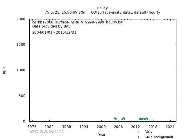
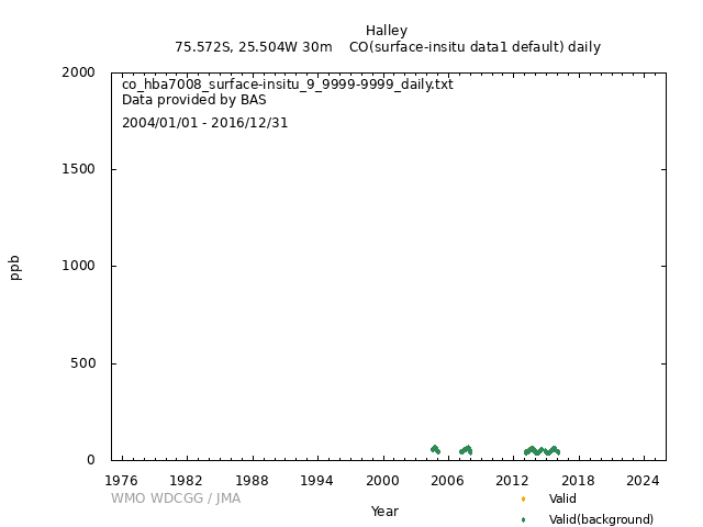
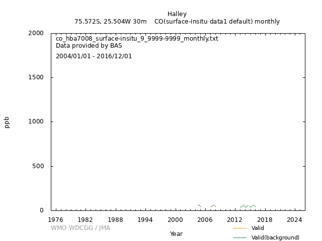
Data Policy
GAW Data Policy
"For Scientific purposes, access to these data is unlimited and provided without charge.
By their use you accept that an offer of co-authorship will be made through personal contact with the data providers
or owners whenever substantial use is made of their data.
In all cases, an acknowledgement must be made to the data providers or owners and to the data centre when these data are used within a publication."
Version
2025-01-01-0009 (Last updated: 2024-12-17)File
This data set is submitted by BAS.
In line with the GAW Data Policy, users should contact the contributors of all data of interest and propose co-authorship or acknowledgement.
Organization
| NO | 9 |
|---|---|
| Acronym | BAS |
| Name | British Antarctic Survey |
| Address 1 | British Antarctic Survey |
| Address 2 | High Cross, Madingley Road |
| Address 3 | CAMBRIDGE CB3 0ET |
| Country/Territory | United Kingdom of Great Britain and Northern Ireland |
| Website | https://www.bas.ac.uk/ |
Contact(s)
| Name | Freya Squires |
|---|---|
| Prefix | Dr. |
| frees@bas.ac.uk | |
| Organization No | 9 |
| Organization acronym | BAS |
| Organization name | British Antarctic Survey |
| Organization country/territory | United Kingdom of Great Britain and Northern Ireland |
| Address 1 | British Antarctic Survey |
| Address 2 | High Cross, Madingley Road |
| Address 3 | Cambridge, CB3 0ET |
| Country/territory | United Kingdom of Great Britain and Northern Ireland |
| Tel | |
| Fax | |
| Last updated date | 2022-07-08 |
| Background observation | |
| UTC | |
| ppb | |
|
9999-12-31 00:00:00 - 9999-12-31 23:59:59: WMO CO X2014A |
|
|
9999-12-31 00:00:00 - 2015-12-31 23:59:59: Aerolaser 5001(VURF) 2016-01-01 00:00:00 - 9999-12-31 23:59:59: LGR N2O/CO 913-0014-1000(CRDS) |
|
|
9999-12-31 00:00:00 - 9999-12-31 23:59:59: 8 (m) |
|
| 1 minute | |
|
In 2004 and 2005 a CO/Air standard gas (BOC spectra-seal alpha volumetric standard) was used for the 12 hourly calibrations. This was then cross checked on the Aerolaser instrument with a NOAA Cylinder CA07014 154.1ppbV (1.0) July 2006 against the NOAA/WMO 2004 scale. In July 2012, this cyclinder CA07014 was re-certified (152.9 ppbV (1.0)) against the same scale. Aerolaser CO is calibrated every 13 hours using a 152.9 ppbV CO (2012) in air standard cylinder which in turn is verified by the manufacturer (NOAA- GMD/WMO Central Calibration Laboratory in Boulder, Colorado, USA)every 2-3 years or when the cylinder pressure is less than 500 psi. LGR CO is calibrated weekly with a mixture of target and NOAA standards. |
|
|
Calibrations, zero values or any data which is invalid are omitted from data sets before averaging. Reduced quality data will be flagged appropriately. Hourly files will be submitted in addition to daily and monthly. This data is obtained by averaging 1-minute data within a 1 hour period for example between 00:00 - 01:00. The carbon monoxide data contained in these files are referenced to the most recent WMO scale - WMO CO_X2014A. |
|
|
[Hourly] 1-min data are averaged to form the basis of hourly mean values. [Daily] 1-min data are averaged to form the basis of daily mean values. [Monthly] 1-min data are averaged to form the basis of monthly mean values. |
|
|
Error Flag = 1 Good quality data Error Flag = 2 Reduced quality data Error Flag = 3 Invalid or missing data |
|
|
Valid (background): 1 Valid: 2 Invalid: 3 |
|
| Temporarily suspended | |
|
Aerolaser AL5001 Measuring range: up to 100,000.00 ppbV Detection limit: < 0.80 ppbV at Integration time = 10 s Sensitivity: about 30 to 100 counts/ppbV LGR upto 4000 ppb precision (1 sigma) < 0.40 ppbV at Integration time = 1 s Sampling is taken from about 8m above the snow surface. Air intake consists of a high volume fan drawing air through an electronically polished stainless steel tube from which a sub-sample is drawn to the instrument by a stainless steel tube of 30 cm length and 1/4"diameter. The air passes through a teflon filter and a nafion dryer (PERMAPURE) before it enters the instrument. |
|
|
Wind direction: Wind speed: Relative humidity: Precipitation amount: Air pressure: Air temperature: Dew point temperature: Sea water temperature: Sea surface water temperature: Sea water salinity: Sea surface water salinity: |
|
|
Meteorological data may remain as first provided, even when greenhouse gas data are updated. |
No DOI available
Related information
GAW Data Policy
"For Scientific purposes, access to these data is unlimited and provided without charge.
By their use you accept that an offer of co-authorship will be made through personal contact with the data providers
or owners whenever substantial use is made of their data.
In all cases, an acknowledgement must be made to the data providers or owners and to the data centre when these data are used within a publication."
Citation format
This format is an example of the WDCGG standard citation.
Please follow the citation format which the data providers or owners indicate.
Please follow the citation format which the data providers or owners indicate.
Freya Squires (BAS),
Atmospheric CO
at Halley by British Antarctic Survey,
dataset published as CO_HBA7008_surface-insitu_BAS_data1 at WDCGG,
ver. 2025-01-01-0009 (Reference date*: YYYY/MM/DD)
* As the reference date, please indicate the date you downloaded the files.
* As the reference date, please indicate the date you downloaded the files.


